

SERVICES
GIS Mapping
GIS Mapping and spatial insights for smarter property decisions.
Advanced GIS mapping and spatial analytics services that help clients visualise opportunities, assess locations and make data-driven real estate decisions across Malaysia.
Our GIS Mapping and Spatial Analytics team helps clients better understand property markets through intelligent mapping, location analysis and visual data insights. By combining geographic information systems (GIS), demographic trends, market intelligence and real estate expertise, we support developers, investors, occupiers and public sector organisations in making informed property and development decisions across Malaysia.
From site selection and catchment analysis to market mapping and portfolio planning, we provide tailored spatial solutions that simplify complex data and reveal actionable opportunities. Our collaborative approach integrates research, analytics and mapping technology to help clients assess risks, identify growth areas and optimise real estate strategies with greater clarity and confidence.



Our GIS Mapping services
We provide GIS mapping and spatial analytics services that help clients visualise data, assess opportunities and make more informed real estate decisions across Malaysia’s evolving property market.

Site selection and location intelligence
Our GIS specialists analyse demographic trends, infrastructure networks, accessibility and market data to identify locations that align with investment, development and occupier strategies.

Spatial data visualisation
We transform complex property and market information into clear, interactive maps and visual dashboards that support planning, portfolio management and business decision-making.
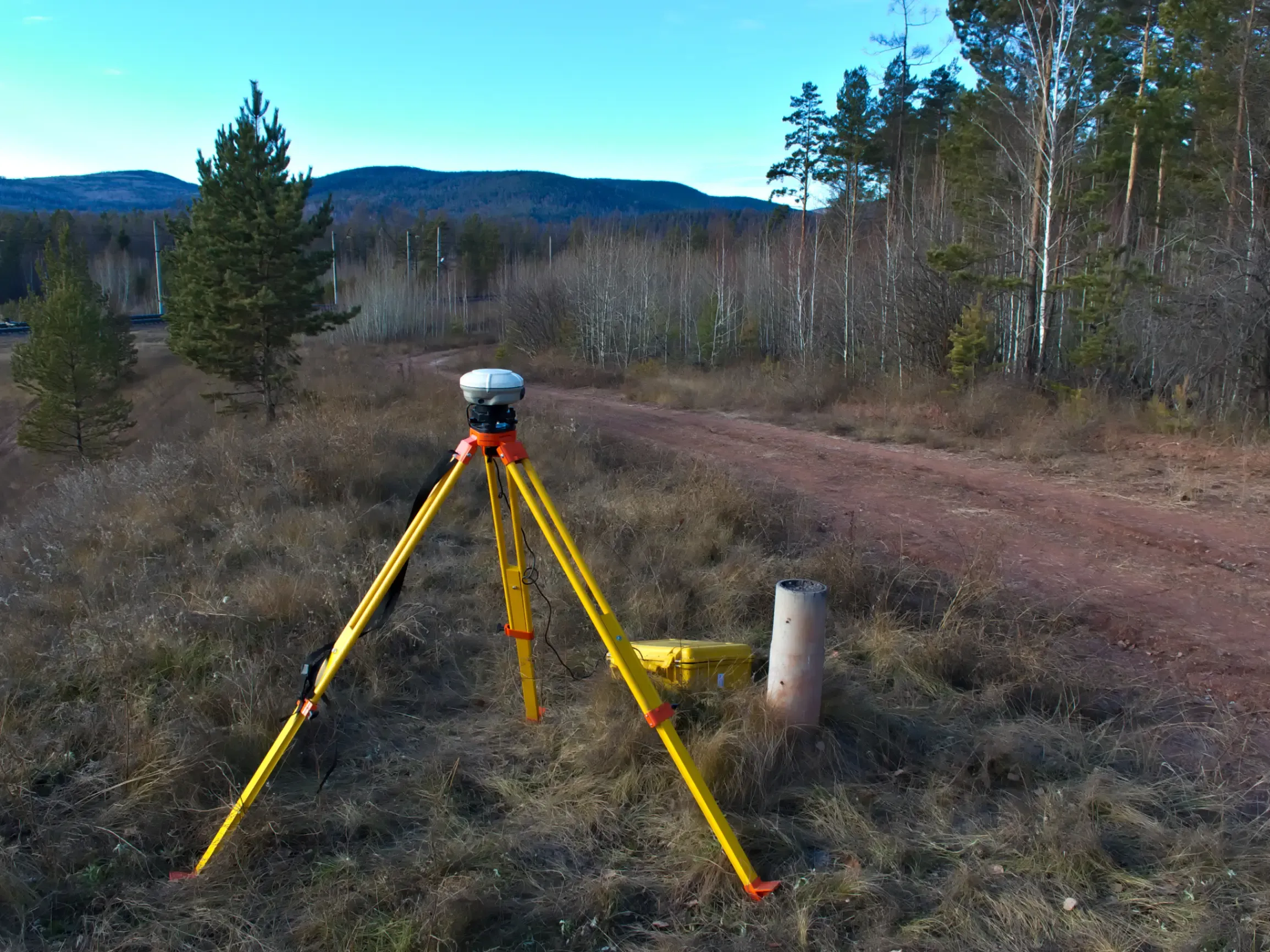
Market and development analysis
Our mapping and analytics capabilities help clients evaluate market potential, development opportunities and competitive positioning through data-led spatial insights tailored to Malaysia’s property sectors.
Our research and consultancy services

GIS Mapping
Visualise property data and uncover location insights with advanced mapping and spatial analysis.

Financial Modelling
Evaluate opportunities with financial models that support confident investment and development decisions.

Portfolio Evaluation
Understand portfolio performance and identify opportunities to enhance value and reduce risk.
Frequently asked questions
GIS mapping services use spatial data, mapping technology and analytics to visualise property, demographic and infrastructure information. This helps clients make informed decisions on site selection, development planning, investment and asset management.
GIS mapping helps developers identify suitable sites, analyse surrounding infrastructure, understand market demand and assess planning considerations. It supports more efficient development strategies and risk management.
GIS mapping can integrate demographic data, transportation networks, land use information, market trends, population density, catchment analysis and property performance data to provide deeper spatial insights.
Developers, investors, occupiers, landlords, retailers, asset managers and government-linked entities can all benefit from GIS mapping to support planning, acquisitions, portfolio optimisation and market analysis.
GIS mapping allows businesses to evaluate accessibility, surrounding amenities, population trends and competitor locations to identify sites that align with operational and investment objectives.
Yes. GIS mapping can help assess catchment areas, customer demographics, footfall potential and competitor positioning to support retail expansion, commercial leasing and investment strategies.
Yes. Our GIS mapping solutions are tailored to each client’s objectives, combining local market expertise with data visualisation and spatial analytics to support better decision-making.
Knight Frank Malaysia combines property expertise, market research and advanced spatial analytics to deliver practical, data-driven insights that help clients uncover opportunities, manage risk and optimise property strategies.